Partnerships with Purpose · 2026-05-12 · 5 min
Key moments - from our scoring
Substance score
27 / 100
Five dimensions, 20 points each
The Southeast Texas Urban Integrated Field Lab, a Department of Energy-funded initiative, demonstrates how collaborative site selection and community co-design can drive equitable climate resilience projects. Katherine describes a multi-phase process where researchers, practitioners, and task force members combined local knowledge with scientific data to identify priority areas for flooding and air quality mitigation in Southeast Texas. The work involved layering socioeconomic, demographic, and flood-level data from Hurricane Harvey with community input gathered through facilitated exercises and card-based strategy comparisons. Rather than imposing predetermined solutions, the team engaged in iterative "back and forth" conversations - mapping community-identified intersections, validating boundaries with residents, and transparently discussing trade-offs. This approach ultimately yielded two pilot sites in Port Arthur and Beaumont, selected for equity and partnership potential. The episode reveals how field labs can balance scientific rigor with authentic community participation, making it essential listening for university researchers, community development practitioners, and government funders designing place-based climate adaptation programs.
The team used a multi-round process combining community input with scientific data: task force members marked flood-prone and air quality problem areas on regional maps, researchers layered in socioeconomic, demographic, and historical flood data, and multiple facilitation rounds narrowed the selection to two pilot sites - one in Port Arthur and one in Beaumont - based on equity considerations and community partner availability.
They created a card-based system where each card contained key information about a strategy (photo, map, or example) in a non-overwhelming format that allowed task force members to compare strategies across meetings and surveys.
The team engaged in iterative dialogue, taking community-identified intersections back to scientists to determine geographic boundaries, then validating those boundaries with task force members to ensure they matched the community's original intent before layering in technical data.
During an April 2024 in-person meeting, the team felt it was more equitable to select one site in Port Arthur and one in Beaumont, as both locations showed strong community energy and viable partnership potential.
Our reviewer’s read on each dimension, with quotes from the episode.
This 5-minute sneak peek is almost entirely a narrative description of an iterative site-selection process with no actionable frameworks, metrics, or transferable tactics for a B2B operator. The content is thin even for its niche audience, and the episode is explicitly promotional for a longer show.
thanks for listening to this sneak peek
So kind of tossed all that together in multiple kind of rounds of conversations and facilitated exercises.
The card-deck facilitation approach is a mildly interesting practical technique, but everything else - community co-design, iterative back-and-forth with stakeholders, layering datasets - is standard participatory-research methodology with no contrarian or first-principles framing.
the facilitation strategy we came up with, actually when we were brainstorming in person at the annual meeting last year, was a deck of cards. Each card would have key information about the strategy in a photo or a map or an example.
lots of back and forth of, you know, community members identifying a particular intersection, taking that back to the scientific part of the team
Katherine is a genuine practitioner who has hands-on experience running the co-design process described, which is credible, but the context is academic and government-funded environmental research - not B2B - and she is not identified with any title, organisation, or track record that would establish broad relevance.
So yeah, those early meetings with the site ⁓ we brought in big maps, made big regional map, asked task force members to mark areas they knew of
I think when we went into that meeting, were hoping, not hoping, but we had thought, okay, we'll just come out with one pilot site.
There are a handful of concrete specifics - Port Arthur, Beaumont, the April 2024 meeting, Hurricane Harvey, 20 candidate sites, Department of Energy funding - but no hard metrics, outcome data, or dollar figures that would substantiate the claims being made.
there was one in April 2024
it felt equitable to do one in Port Arthur and one in Beaumont
The host's questions are leading and narrative-guiding rather than probing; no claim is challenged, there is no follow-up that pushes past the surface, and the conversation reads as a rehearsed walk-through of a project timeline rather than a real intellectual exchange.
Do you remember, can you tell us something about how...
Tell us about that process.
Computed from the transcript - who did the talking, and the words that came up most.
In this sneak peek, hear how Southeast Texas task force members and researchers picked sites to study flooding and air quality using local knowledge and science side by side. See what happens when communities help lead research in Lessons from the Field Lab! Link to Full Episode:
Transcribed and scored by The B2B Podcast Index.
TxTC Staff: thanks for listening to this sneak peek. If you'd like to hear more about the partnerships in Southeast Texas, check out the podcast Lessons from the Field Lab. Lessons from the Field Lab. came together with researchers, practitioners, community members.
and university faculty. studying air quality, flooding, extreme heat, the ecosystem, social dimensions, and the vulnerability across Texas. Hey guys, check out this sneak peek into our new podcast, The Southeast Texas Urban Integrated Field Lab, funded through the Department of Energy, Give it a listen. Katherine: So yeah, those early meetings with the site ⁓ we brought in big maps, made big regional map, asked task force members to mark areas they knew of, like intersections, parts of towns that had seen pretty severe flooding in the past, to mark areas that they had challenges with their quality, took all that data, went back, ⁓ mapped it.
⁓ And then that's when we layered in the data from the scientific team those 20 sites. ⁓ does income data look like? What does socioeconomic data, demographic data look like in neighborhoods? What existing do we have about air quality?
What existing information do we have about flood levels during the Harvey event? And then brought that back, and ⁓ then they through, ⁓ made ⁓ map each of those sites. ⁓ and then went through pros and cons of all the sites and also information that only local residents would have had at that point, right? Are there potential community partners who would be willing to help us implement these strategies, right?
Are there hurdles that you know of or obstacles that would prevent us from being able to work in this area for various reasons? So kind of tossed all that together in multiple kind of rounds of conversations and facilitated exercises. TxTC Staff: Mm-hmm. Mm-hmm.
Katherine: So that was the site selection piece and then the phase, I guess, of the co-design piece. And we didn't really get to the fourth phase, unfortunately, but I can talk about that too. But the third phase ⁓ was through and then getting input on various flooding air quality mitigation strategies. And we did that in meetings.
We also did that through a survey just to make sure that we input from every force member, which I think eventually we did get. And for that one... the facilitation strategy we came up with, actually when we were brainstorming in person at the annual meeting last year, was a deck of cards. Each card would have key information about the strategy in a photo or a map or an example.
good information, but not overwhelming amount of information, and a format that you could compare across strategies. TxTC Staff: Mm-hmm. So we did a lot in those two hour meetings. Yeah, because I remember getting those set of different sites.
But then I remember we actually ended up like pairing them down to a couple of sites with the task force. And then that created lots and lots of discussions. Do you remember, can you tell us something about how... Katherine: Yes, we did.
We did. Yeah. ⁓ my gosh. TxTC Staff: we pared it out as a team and how we took that data whenever we gave the scientists those sites, they gave us back some data and then we pared it down even smaller to focus on specific sites.
⁓ Tell us about that process. Katherine: Right. Yeah, lots of back and forth of, you know, community members identifying a particular intersection, taking that back to the scientific part of the team and saying, okay, we're thinking about this area, and then making a judgment of, okay, how are we going to draw the boundaries on this? Does that look about right?
Taking that back to the task force members. Does this kind of what you had in mind when you marked this intersection? Was it generally this area? Yes.
Okay. Bringing it back to the technical team and then ⁓ layering in all that data. ⁓ And then bringing it back to the task force members and saying, hey, here's this one particular intersection that you guys were interested in. information about equity flags in this area.
Here's information about air quality. And then in that in-person meeting, there was one in April 2024 that wasn't at. Definitely some little bit of horse trading, little bit of like, well, let's ⁓ together these two sites. Well, let's prioritize this one.
⁓ TxTC Staff: Yeah. Katherine: I think when we went into that meeting, were hoping, not hoping, but we had thought, okay, we'll just come out with one pilot site. We don't want to over promise. That's such a key part of all this work to try not to over promise.
So let's start with one pilot site. And then of course, at the end of the meeting, we decided to do two because it felt equitable to do one in Port Arthur and one in Beaumont. It felt like there was good energy there potential community partners. TxTC Staff: And we were able to match those sites with some of the courses at the university to kind of visualize ⁓ of the potential strategies and ideas.
so I think there's some really cool products ⁓ that come out from that.
Other episodes covering the same guests and topics, from across The B2B Podcast Index.
 Courageous ConversationsThe Coaching Outcomes Podcast from Values Based Leadership · features Katherine53 / 100
 Manufacturing the Nuclear Future (with Yasir Arafat of Aalo Atomics)CC Pod · on Department of Energy91 / 100
 Tech Transforms: Episode 6ATARC Federal IT Newscast · on Department of Energy68 / 100
 Capital Region Catalysts: How Synergos is Powering Deep-Tech in the DMV and Backing a Nuclear Pioneer | The Pair Program Ep73The Pair Program · on Department of Energy
 2026 in Review: Partnerships, Growth, Adaptability, and Expectancy 53 / 100
 Meet the 2026 Cooper Scholars34 / 100
 Mastering Classroom Management in Community-Engaged Learning50 / 100
 Learning in Action: Bridging the Classroom with Community Engagement67 / 100
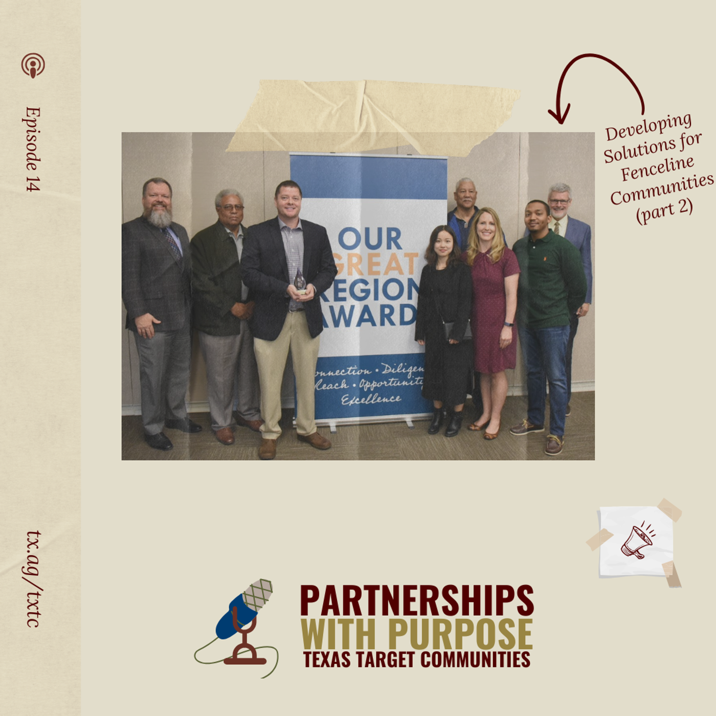 Developing Solutions for Fenceline Communities61 / 100